MAPS
additional pages with MAPS:
HOME - French Broad River - Henderson County Formation - 1889 Money then Etowah
Translation of Etowah - Train Depot - Railroad History - Historic Cemeteries
additional pages with MAPS:
HOME - French Broad River - Henderson County Formation - 1889 Money then Etowah
Translation of Etowah - Train Depot - Railroad History - Historic Cemeteries
|
The unincorporated community of Etowah is located along west Highway 64 about halfway between the cities of Hendersonville and Brevard, adjacent to mile #37 of the French Broad River (river headwaters are in the Rosman area of Transylvania County). Before the new Hwy 64 was constructed in the late 1950s, the original main road through Etowah was "Old Highway 64, " McKinney Rd and beyond.
Neighboring communities include, - In Henderson County: Big Willow, Pleasant Grove, Crab Creek, Horse Shoe, Holly Springs, and Mills River - In Transylvania County: Blantyre, Penrose, Crab Creek, Pisgah Forest |
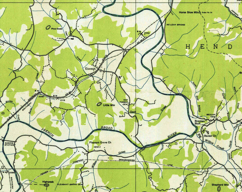
inset of Etowah area from
1935 Horse Shoe Quadrangle Map, USGS
1935 Horse Shoe Quadrangle Map, USGS
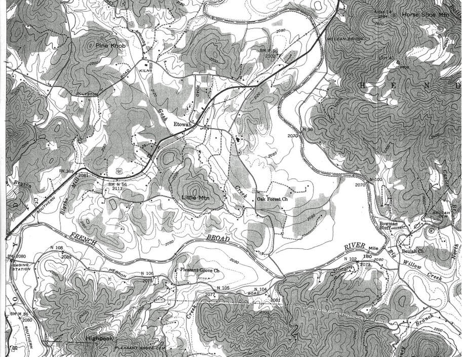
inset of Etowah area from
1942 Horse Shoe Quadrangle Map, USGS
1942 Horse Shoe Quadrangle Map, USGS
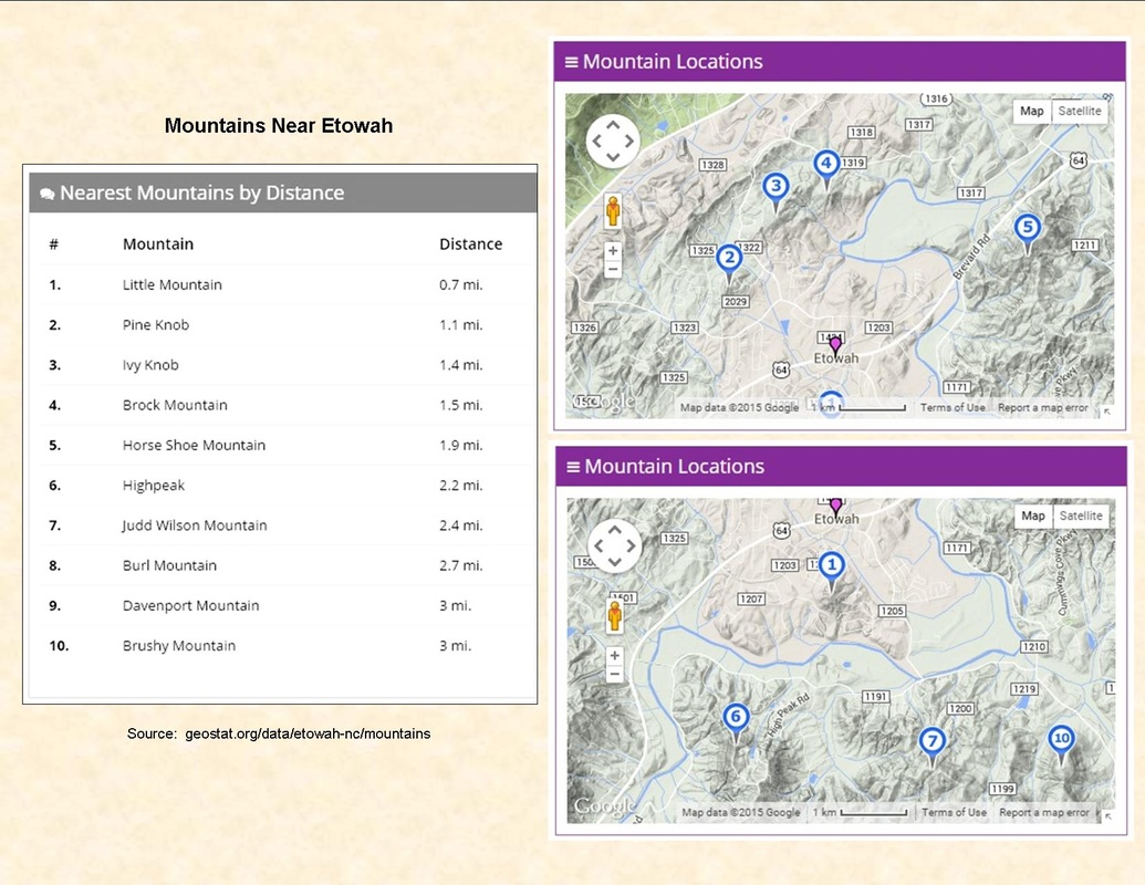
Current Topographic Map of Etowah area - Henderson County's online GO MAPS GIS

|
The geographic boundaries of traditional pioneer communities are normally based on land features such as the horse shoe bend in the French Broad River, mountain ridges, gaps, creeks, other landmarks, settlement patterns, etc.
A map depicting the traditional communities of Henderson County, from Balfour to Zirconia, may be viewed on hendersonheritage.com. Boundaries illustrated on the map are generalized only, not specific. |